The benefits of river restoration and the chances for its successful implementation are frequently dependent on how well it is integrated into the built and natural environment through the process of spatial planning. When this process is carried out well, river restoration can give social and economic benefits as well as offering environmental enhancements.
Spatial planning is the process of designing and creating places and buildings that fit into the environment. It also has a central role in ensuring that land is available to enable new development or regeneration to take place and balances the need for development with protection of the environment and local amenities.
In many European countries the planning system has been identified as the means of delivering this vision and bringing all these elements together. In general this process is achieved by drawing up a vision of development based on national and local priorities and expectations.
In the context of river restoration, spatial planning deals with existing and proposed structures in the river corridor and catchments, and all natural and man made features as well. Spatial planning is therefore a key tool in achieving high quality river restoration.
By approaching river restoration in a wider social, economic and environmental context by integrating it with existing natural and man made structures and designing projects collaboratively, it is more likely that river restoration measures will be successful.
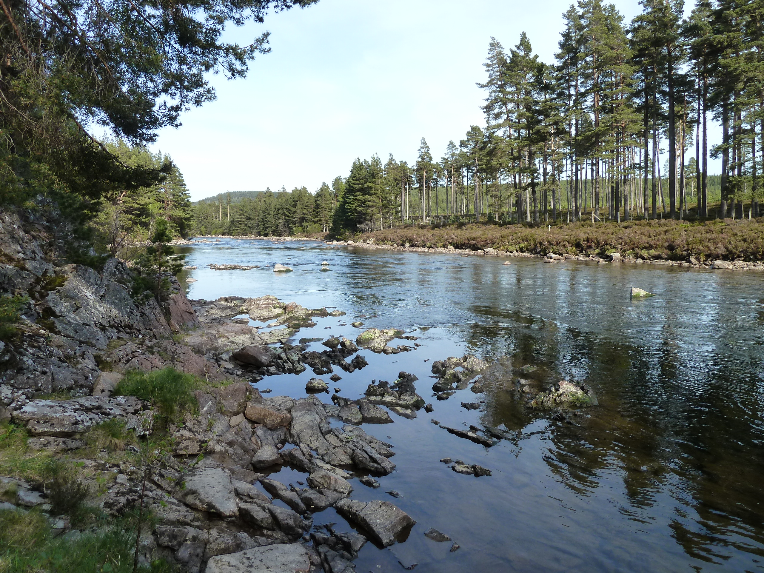
The spatial planning system offers the opportunity for planning authorities to incorporate good restoration practices into urban and rural developments in order to improve flood prevention, increase recreational facilities, reduce heat stress and increase the value of waterfront housing.
It is essential that river restoration is carried out in accordance with planning policy at both the national and European level. For instance, Water Framework Directive objectives need to be reflected in planning policy and delivered through planning decisions.
For instance, in the London Borough of Lewisham (UK) the Ravensbourne River Corridor Improvement Plan (RRCIP) assesses the river environment from Catford to the River Thames in Deptford and identifies how development and initiatives can improve the river’s quality. The RRCIP is part of a suite of documents known as the Local Development Strategy that provides the basis for all spatial planning decisions within the London Borough of Lewisham.
As many rivers cross international borders, river basin management needs to take account of the interests and development in neighbouring countries. Spatial planning can play a key role in implementing EU policy and achieving integrated decision making across borders and river catchments.
The EU Floods Directive of 2007 states that measures to reduce flood risks should be coordinated throughout a river basin in order to be more effective (River Basin Management Planning). Spatial planning can be used as a tool to plan development at the catchment scale as a way of addressing this issue.
River catchment planning is the management of water resources, ecology and pollution to preserve and enhance the quality of water and rivers by bringing together partners to find the best ways to manage rivers. It is a framework for assessing the potential for improvement and identifying areas in need of restoration on a catchment or sub-catchment. For instance, catchment planning can improve the ecological status of rivers or provide solutions for sustainable flood alleviation issues where properties are at risk.
Rivers By Design
A step-by-step guide for planners, developers, architects and landscape architects on how to maximise the benefits of river restoration in development projects. This was developed by the RESTORE partnership.
Rivers by Design shows planners, architects and developers the crucial role that they can play in river restoration. It provides practical advice and information to maximise the ecological, social and economic benefits of development by integrating water management into the planning and design at all scales. Step-by-step guidance on planning projects ensures the goals of sustainable development are achieved to meet the needs of local people and the environment.
A series of case studies demonstrates successful examples of how well located, planned and designed development can increase ecological quality, reduce flood risk and create social and economic benefits such as improved recreational facilities and public spaces. The case studies that are presented in this guide are available below as individual pdfs: